The Church Square
Alternative names: Eforie Square / Templom tér

The place now called The Square Church was the result of the systematization of the large plots and gardens alongside the esplanade, to the east of the future Bălcescu Square (Grundhausplatz/Telekház tér), at the beginning of the 20th century. The development of a residential area after the interdiction to build outside the city walls was lifted (1892), and the connection of Cetate to the Romanian part of the suburban area Maierele vechi (The Old Maiere) swallowed by the new Elisabetin neighbourhod, combined with local topographic vicissitudes led to the meeting of various configurations which resulted in the apparition of a vacant plot, later turned into a square.
The square was dedicated to the Orthodox church built in 1784 (which at the beginning of the 20th century is recorded at Greek Catholic). The name Templom tér is mentioned on the map from 1901-1902. The square acquires its shape gradually, as it is located at the intersection between a rural type of urban tissue coming from the south, with small numerous plots (Maierele române -- The Romanian Maiere) and the urban tissue expanding from the north, from Piața Bălcescu, with big gardens and plots of land (Maierele german -- The German Mariere). The importance of the Orthodox nucleus in Elisabetin is emphasized by the urban relationship between the church (Templom), The Church Square (Templom tér) and The Church Street (Templom utca) which ends in Bălcescu Square.
The map from 1913 shows the rectangular shape of the square and the presence of vegetation, unlike The Cross Square and The King Square (today Vasile Adamachi Square) which are shown as being predominantly mineral. One of the hypotheses is that with the consolidation of the neighbourhood, people wished to mark the importance of the church. The religious edifice was enlarged and restored in 1893-1894 through the donations of locals and, according to Josef Geml, following the completion of works ”a joyous celebration was held with the participation of the entire city”. On the other hand, the presence of the large lucrative domains of gardeners Wilhelm Mühle and Franz Niemetz in the area may explain the abundance of vegetation in the design of the square (possibly following the model of participative association, as in the case of current Carmen Sylva Park).
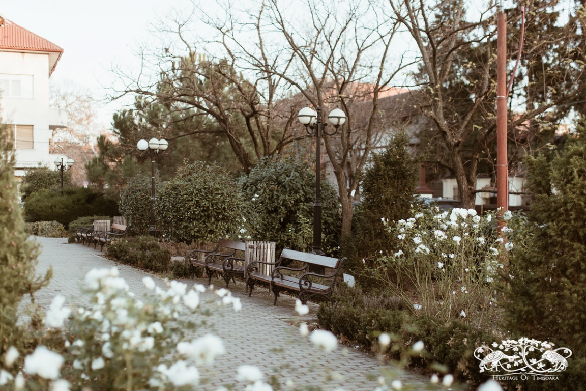
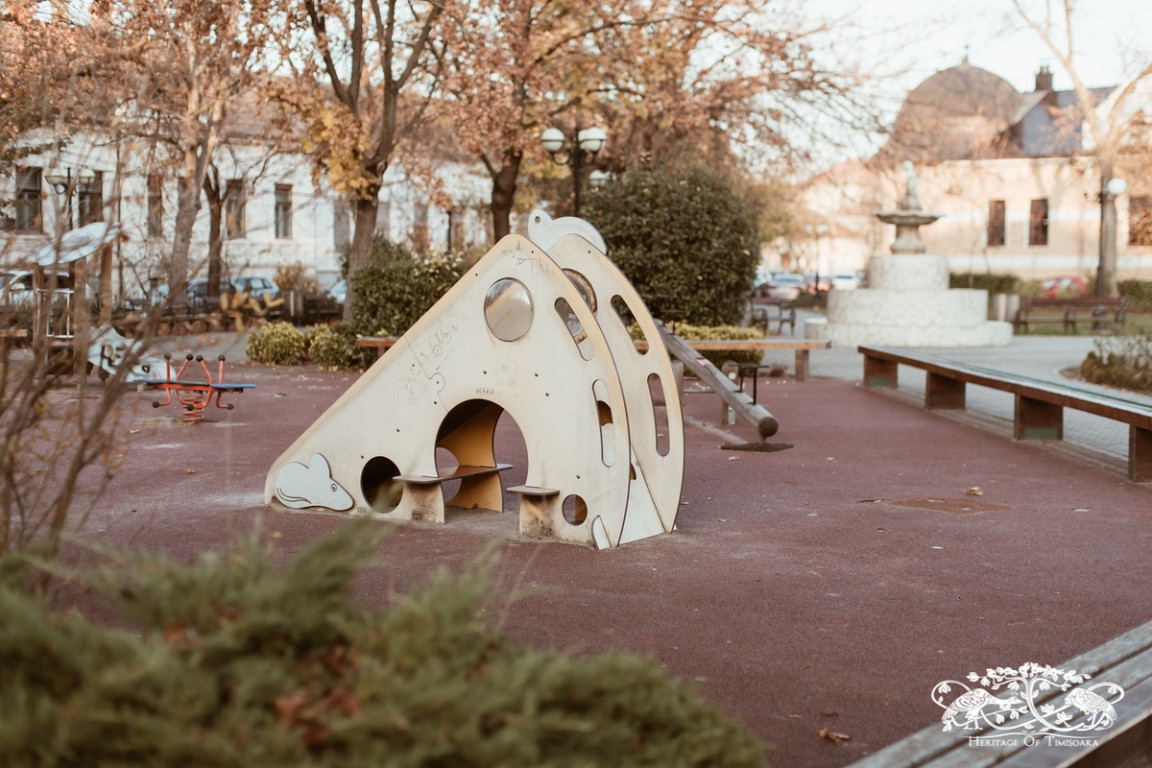
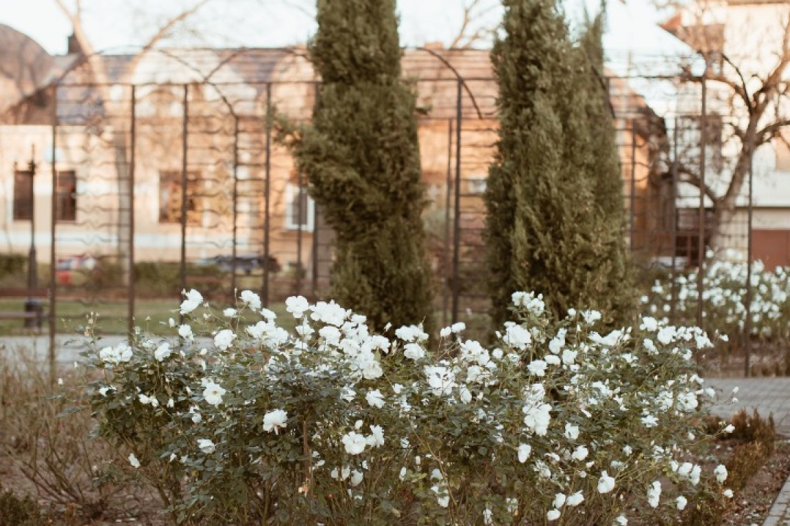
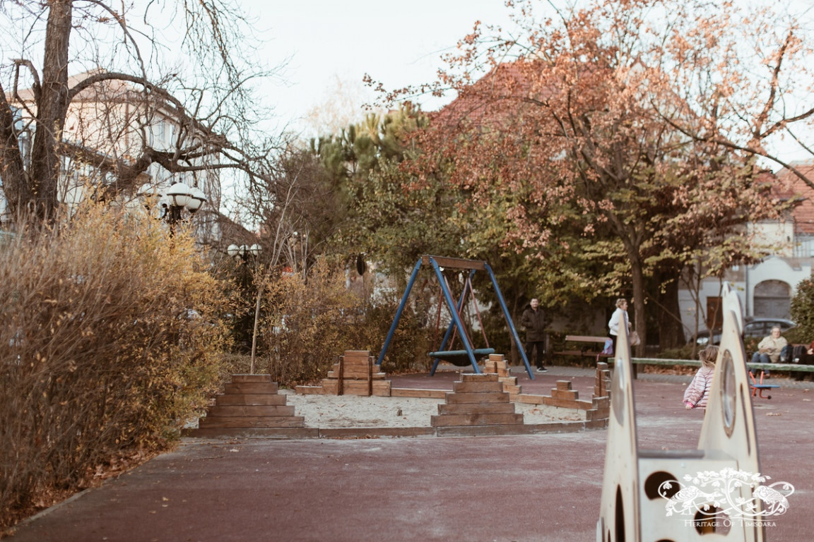
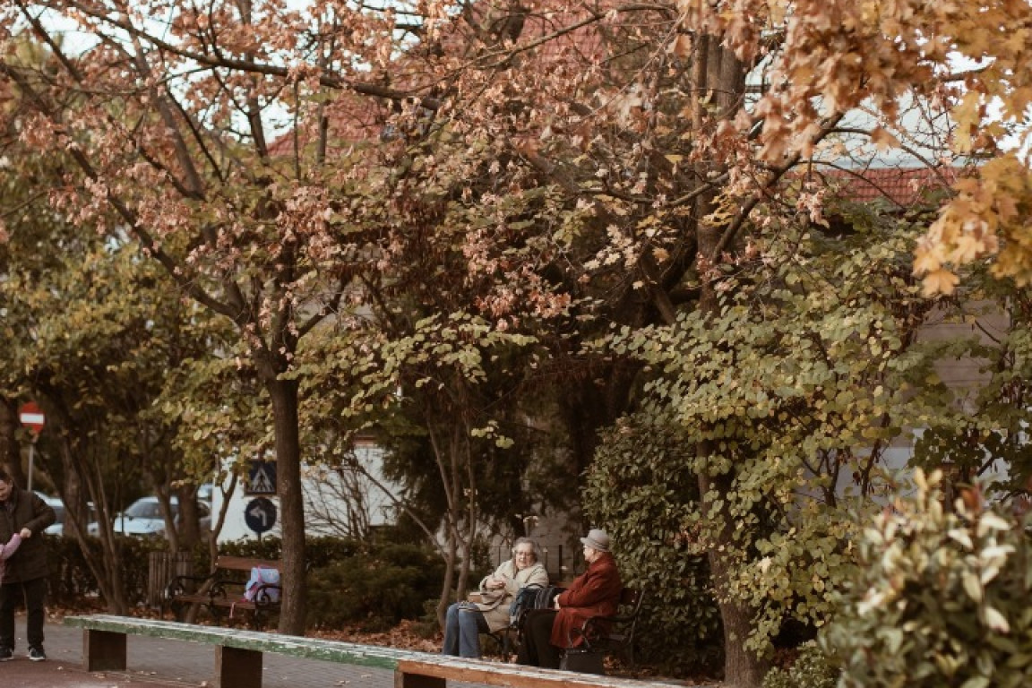
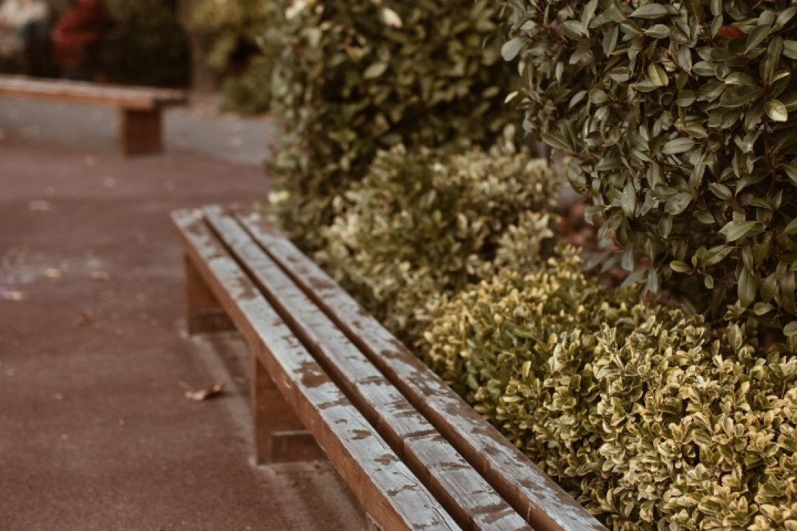
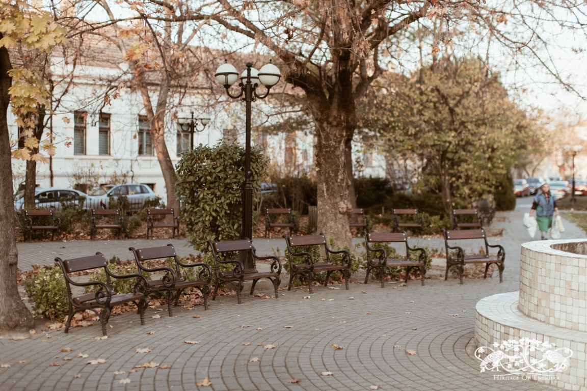
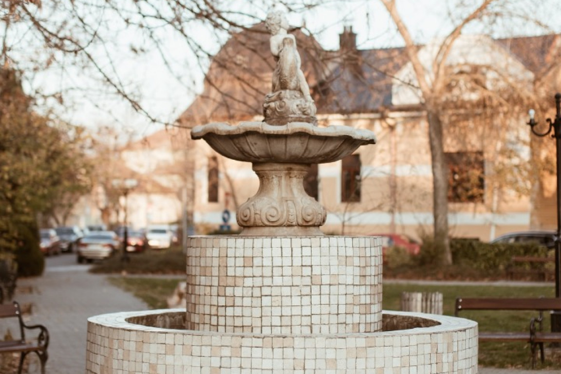
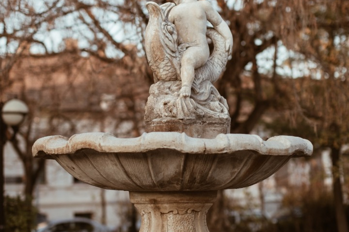
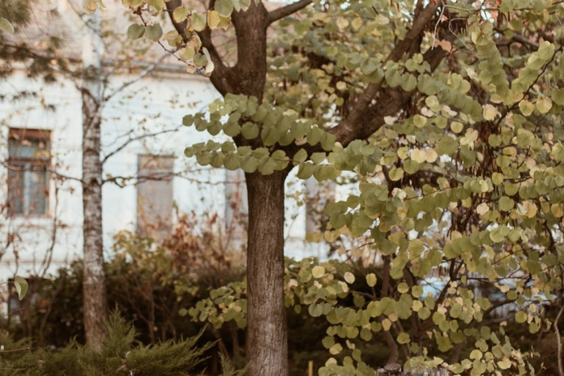
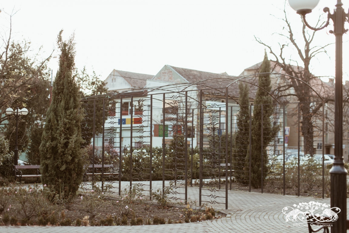
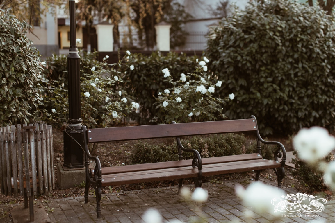
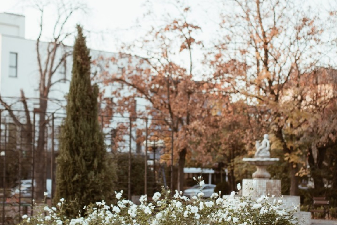
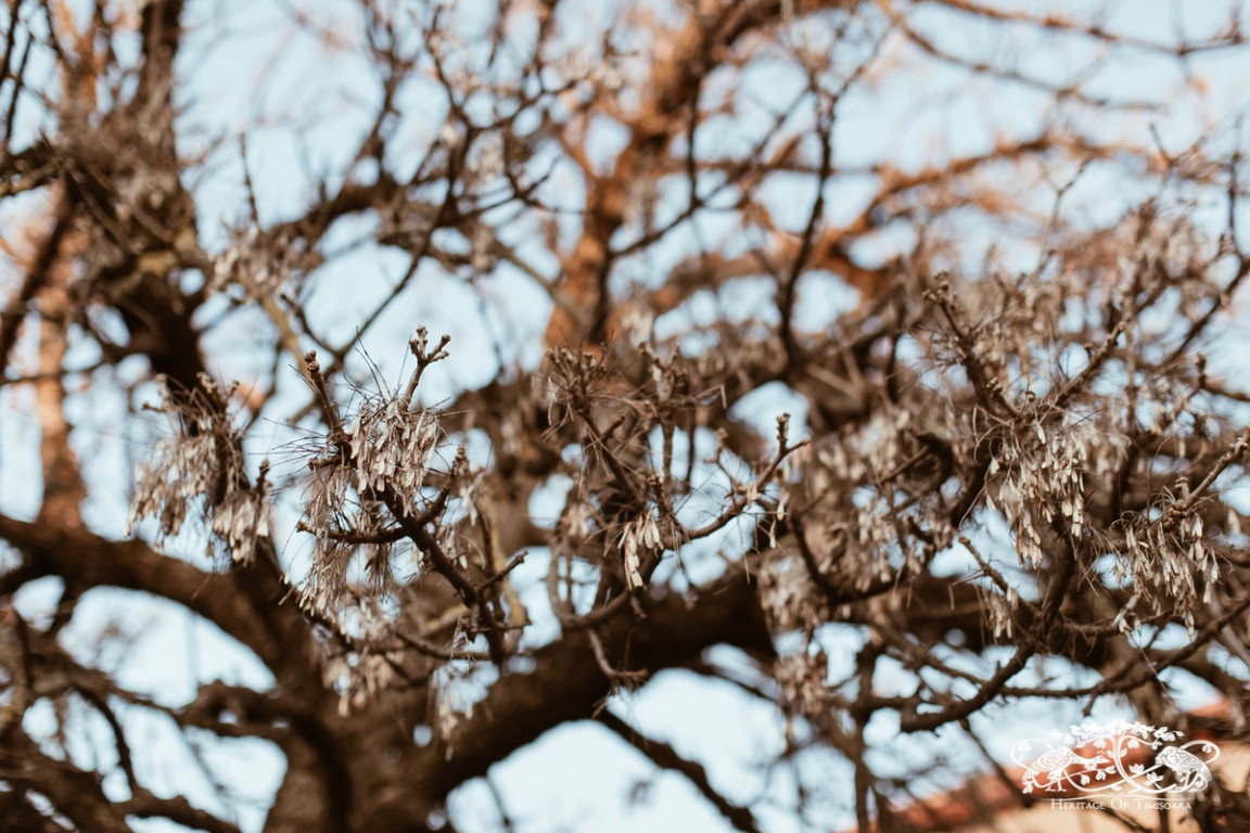
According to photos from that era, the initial design of the square was in a geometric style, with a central mineral zone that all the diagonal alleys fed into, supporting the transitional character of the space, and with perimetral plantations of deciduous and coniferous trees. During the Interwar period, the square underwent compositional changes. From this period date the oldest surviving elements, such as the American plane tree - Acer negundo and the horse-chestnut tree - Aesculus hippocastanum, both planted around 1930. After the Revolution in 1989, the space suffered minor ”modernising” touches. The one from 2008 has a lasting visible impact on the square, as it introduced classical elements such as the fountain which emphasizes the compositional centre, while the metal pergola, the rose beds and benches create a romantic atmosphere. Moreover, it also acquired the function of a playground for children. In terms of vegetation, new species are introduced in the spirit of a ”mediteranean garden”: Judas tree - Cercis siliquastrum, crape myrtle - Lagerstroemia indica and pomegranate - Punica sp, which are foreign to the local cultural landscape and biodiversity.
The square’s relationship to the church was obscured by the latest intervention, the plantation of a wall of vegetation on the south side of the square, but the space continues to be involved in Orthodox rituals as the local residents use it to take part in Easter Midnight Mass.
* The placement of vegetation into age categories has been done according to the Green Area Registry method developed by Dr Eng. Zeno Oarcea, a method with a medium level of accuracy.
No material from this online platform/website may be partially or fully reproduced or modified without the prior explicit permission, by written consent of the PRIN BANAT Association. Terms & Conditions.